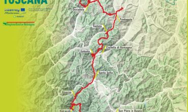
Forlì – Castrocaro – Montepaolo – Dovadola
Km: 28 Altitude difference: +554m/-441m Walking time: 8 hours with stops
After leaving Forlì Station proceed along Viale della Libertà to Piazza della Vittoria, after about 1 km turn right, following the signs for the Centro-Duomo.
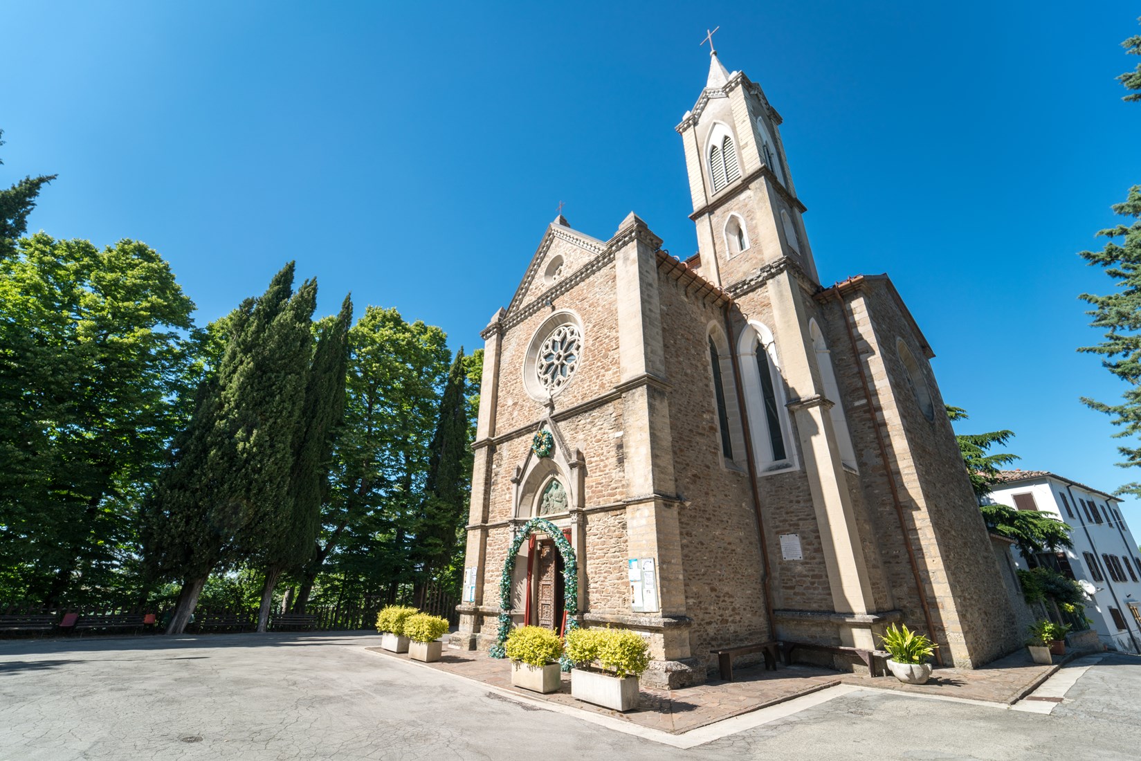
Take Corso della Repubblica (direction Centro) to Piazza Saffi. Cross the large square and follow the signs to the Duomo (Cathedral of Santa Croce).
At the exit from the Duomo take the road on the left to exit the city in the direction of the Urban Park Franco Agosto.
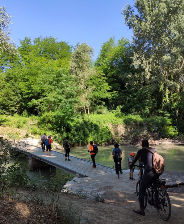
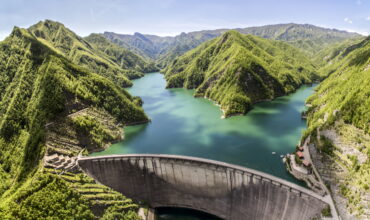
Once at the Urban Park take the bike path in the direction of the River Park. You reach Guado Paradiso where you cross the river Montone on a wooden walkway.
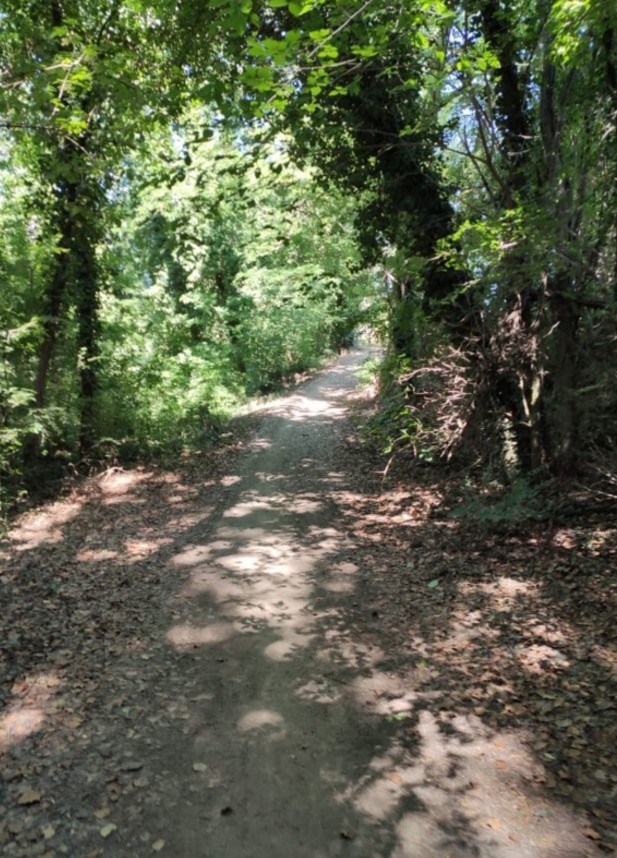
Continue, in the shade, along the dirt road that runs along the river on one side and the cultivated fields on the other, until you reach a paved road in Villa Rovere. At the intersection of the two streets there is a fountain where you can fill the water bottles.
The route continues to the left, taking the road that reaches the church, where turning left you reach the Guado di Ladino. From that point you follow the dirt road between fields and vineyards that reaches Terra del Sole.
You enter Terra del Sole through the arch of the Castello del Capitano, in the square of the sixteenth century. (We are 13 km from the start).
In the square in front we find a fountain. Yes, go past the square until you reach the Castello di Terra del Sole.
Leave Terra del Sole and follow the bike path that proceeds under the tree-lined avenue (Viale Marconi) parallel to the state road that leads to Castrocaro.
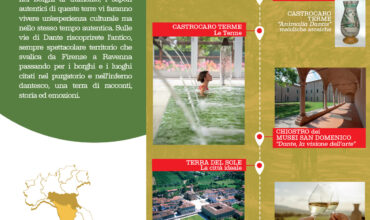
Once in Castrocaro you pass the Spa. In the square there are several bars where you can have lunch (we are about halfway, but be careful because there is a nice stretch up in the sun up to Montepaolo).
Exit Castrocaro turning left at the end of the road, after the square, to climb to the medieval fortress. The route turns under the fortress (you pass in front of the Alpine Circle ) keeping left. The road goes down through some houses and then goes up along a rather steep dirt road and under the sun that leads to a paved road: the path of the Saint.
Continue along the paved road to Villa Bagnolo where there is a fountain. From here you then climb up to the Sanctuary of Montepaolo where the path joins the path of Sant’Antonio.